Booking choice: The summer tour from Denver, from $169 per person. Check dates Compare the options below
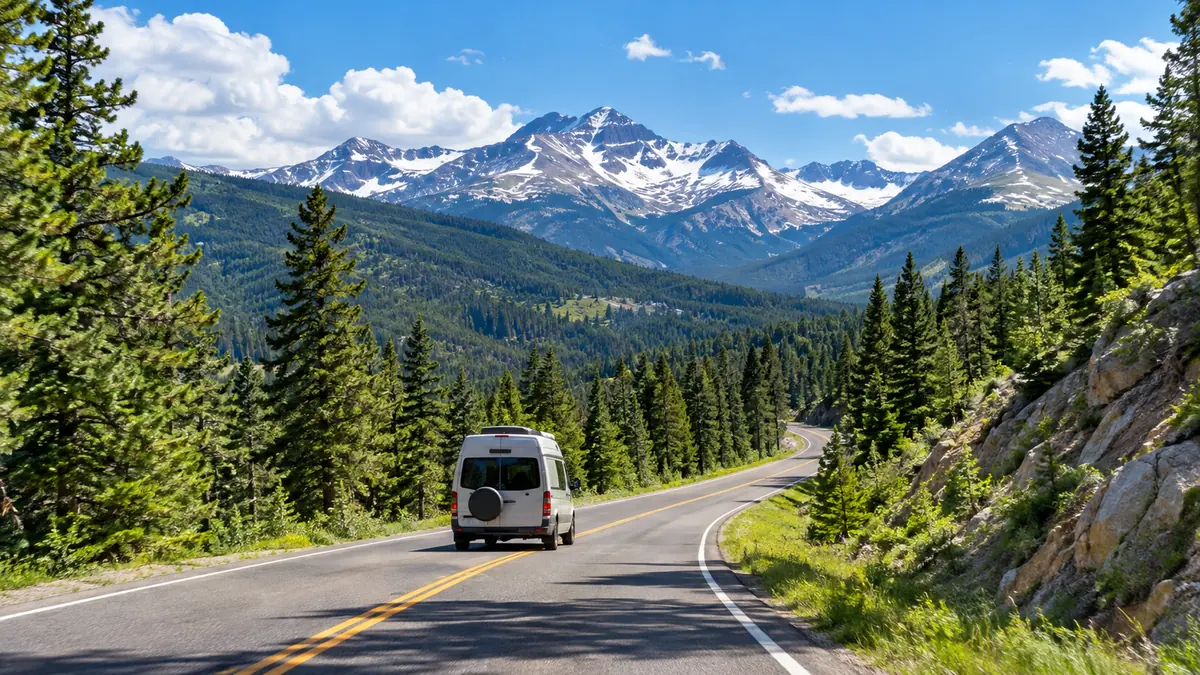
The road is 48 miles one way and takes 1.5 to 2 hours in steady traffic without stops. With stops, most people spend half a day on it.
It is only open in summer and early autumn, and the weather at the top can be very different from the valleys.
The quick answer
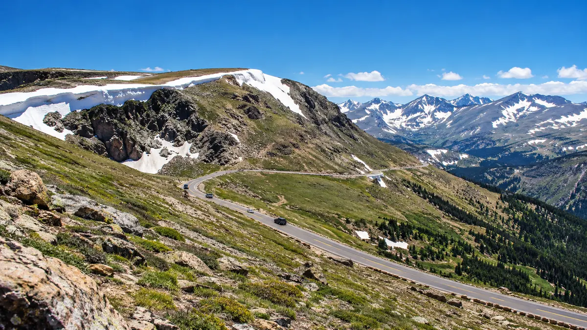
Trail Ridge Road runs 48 miles from Estes Park to Grand Lake and reaches 12,183 feet, the highest continuous paved road in the US. It usually opens in late May and closes in mid-October. The best stops are Many Parks Curve, Forest Canyon Overlook, Rock Cut, the Alpine Visitor Center and Milner Pass. Road status: 970-586-1222.
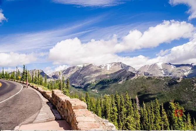
How long and how high is Trail Ridge Road?
48 miles one way, cresting at 12,183 feet: the highest continuous paved road in the United States.
It runs from the Estes Park side on the east to Grand Lake on the west, crossing the Continental Divide at Milner Pass. Allow 1.5 to 2 hours one way without stops, and much longer with them.
Want someone else on the hairpins? The summer tour spends about two hours on the road.
Check dates for the summer tour from DenverWhen is Trail Ridge Road open?
Usually from late May, around Memorial Day, to mid-October, depending on snow; it is open 24 hours a day in season.
It can close for a few hours at any time for storms or snow, even in summer. Call the park's road status line, 970-586-1222, before you go. In late May and early June there can still be tall snow walls beside the road.
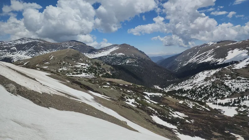
What are the best stops on Trail Ridge Road?
Heading up from the east: Many Parks Curve, Rainbow Curve, Forest Canyon Overlook, Rock Cut, the Alpine Visitor Center and Milner Pass on the Continental Divide.
| Stop | Elevation | Why stop |
|---|---|---|
| Many Parks Curve | 9,640 ft | Views over the park's meadows, or "parks" |
| Rainbow Curve | 10,829 ft | A hairpin with views over the valleys |
| Forest Canyon Overlook | 11,716 ft | A view down into Forest Canyon |
| Rock Cut | 12,050 ft | Start of the Tundra Communities Trail |
| Gore Range Overlook | 12,010 ft | Views toward the Gore Range |
| Alpine Visitor Center | 11,796 ft | The highest visitor center in the National Park Service |
| Milner Pass | 10,758 ft | The Continental Divide, beside Poudre Lake |
What is the Tundra Communities Trail?
An easy walk from Rock Cut: 1.2 miles round trip with 190 feet of climbing, onto the alpine tundra.
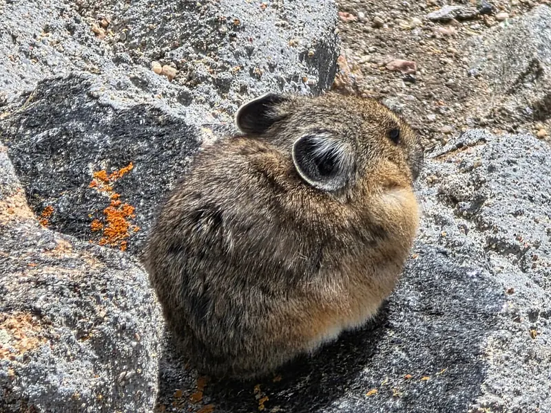
It is the easiest way to stand on the tundra, and a good place to listen for pikas. Stay on the path: the park says repeated footsteps destroy tundra plants, and recovery can take hundreds of years. Walk slowly at this height.
What is Old Fall River Road?
A gravel alternative to the paved road: 9.4 miles, one way uphill from Endovalley to Fall River Pass at the Alpine Visitor Center.
It opens later than Trail Ridge Road (July 4 in 2026) and vehicles over 25 feet and trailers are not allowed. The open-air jeep tour goes up Old Fall River Road or Trail Ridge Road, depending on season and weather.
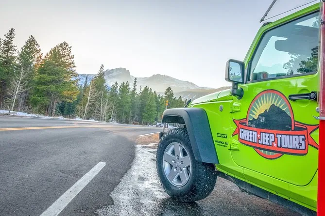
Want the gravel road in an open jeep? Three hours to the Alpine Visitor Center, park pass and timed entry included.
Explore the open-air jeep tourWill you feel the altitude on Trail Ridge Road?
Many visitors do: the park warns that altitude sickness affects many people every year, with headache, nausea, fatigue or dizziness.
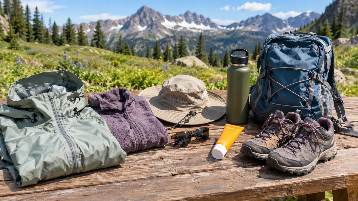
Drink water, eat, walk slowly and rest. The park's advice is that the only cure is to go down to a lower altitude. Tour operators ask guests with heart problems or serious medical conditions to check with a doctor first. See also what to wear at 12,000 feet.
Should you drive Trail Ridge Road yourself or take a tour?
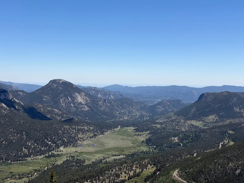
Drive yourself for freedom and to go on to Grand Lake; take a tour to skip the timed entry booking and watch the view instead of the road.
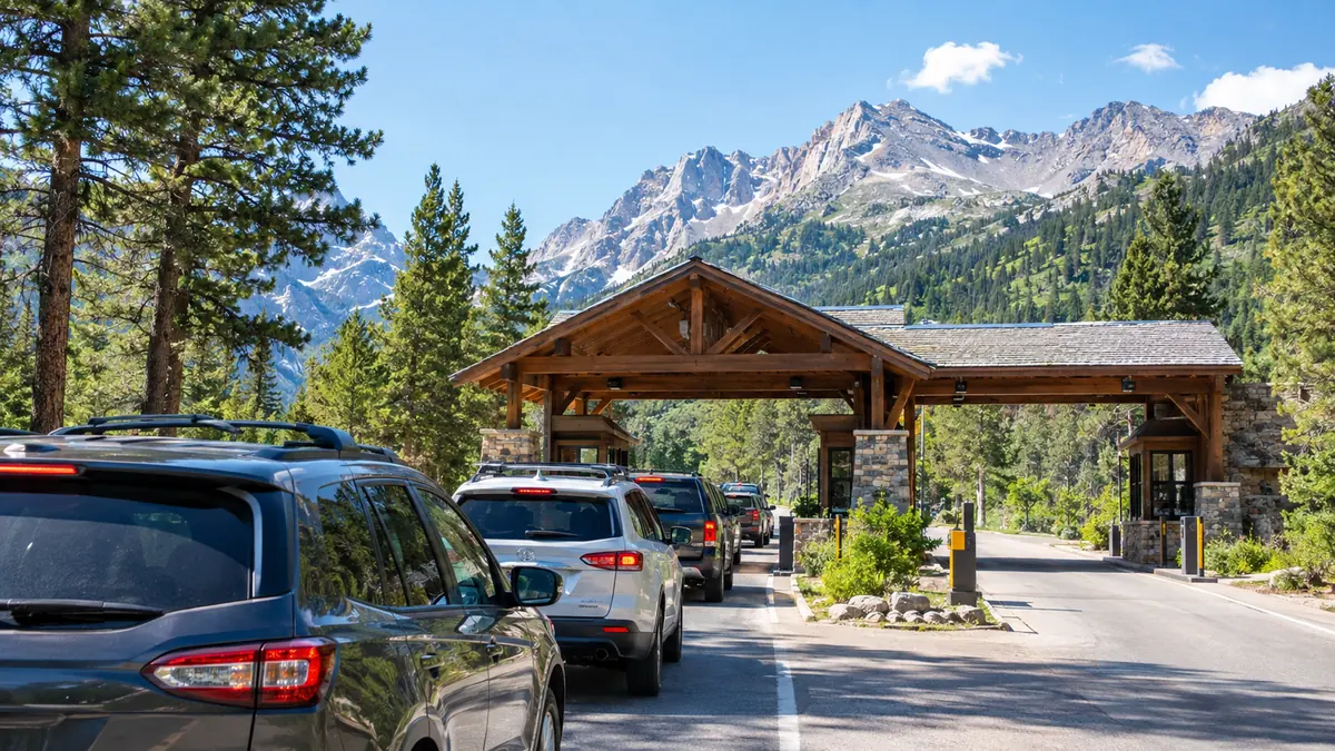
Driving in between 9 a.m. and 2 p.m. needs a timed entry reservation (see timed entry). The summer tour from Denver spends about two hours on the road with stops at Rock Cut, the Alpine Visitor Center, Milner Pass, Forest Canyon and Many Parks Curve.
What is the best time of day to drive it?
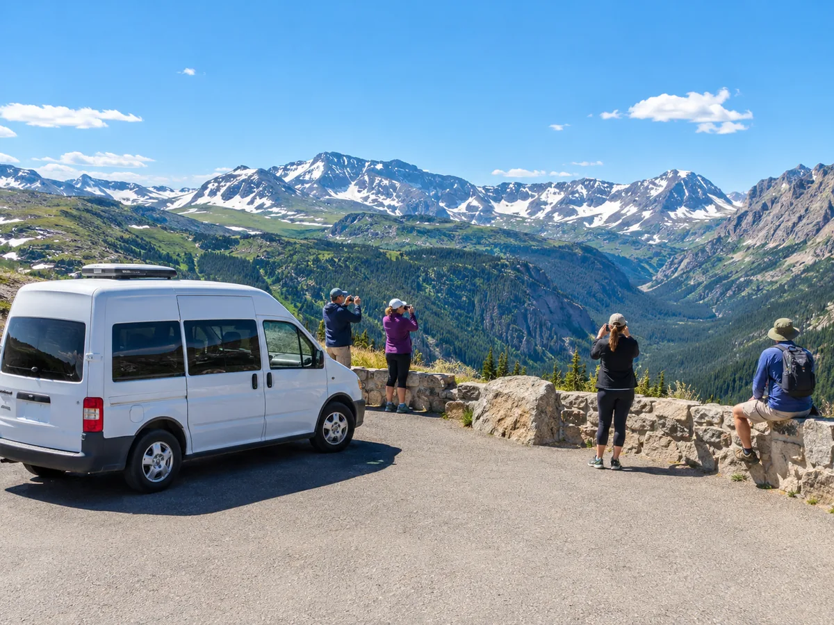
Morning: the park says most thunderstorms come after noon, and the tundra is no place to be in lightning.
Aim to reach the top before lunch and head down if the sky darkens. Early starts also mean fewer cars and a better chance of elk in the meadows on the way up.
Early start without the early alarm? Guides time the climb around the weather.
Check dates for the open-air jeep tourFrequently asked questions
How long does it take to drive Trail Ridge Road?
About 1.5 to 2 hours one way in steady traffic without stops; allow half a day with stops.
Can you drive Trail Ridge Road through to Grand Lake?
Yes: it runs 48 miles to Grand Lake on the west side, past the Kawuneeche Valley, the park's best area for moose.
Is Trail Ridge Road open in October?
Usually until mid-October, but snow can close it earlier. Check 970-586-1222.
Do I need timed entry to drive Trail Ridge Road?
Yes, if you enter between 9 a.m. and 2 p.m. in the summer season. Before 9 or after 2, no.
Ready to book
Choose your day
Free cancellation up to 24 hours before on every option. Prices are from-prices in USD and move with the season.
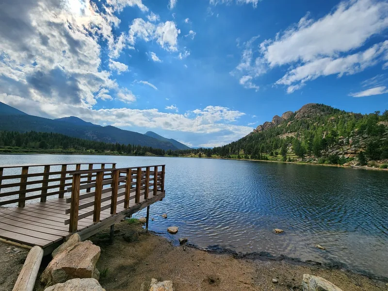
Rocky Mountain Summer Tour from Denver
- Small group of 12 or fewer in a touring van, local driver-guide
- Trail Ridge Road, Alpine Visitor Center, Many Parks Curve, Alluvial Fan
- Picnic lunch in the park, snacks and water refills
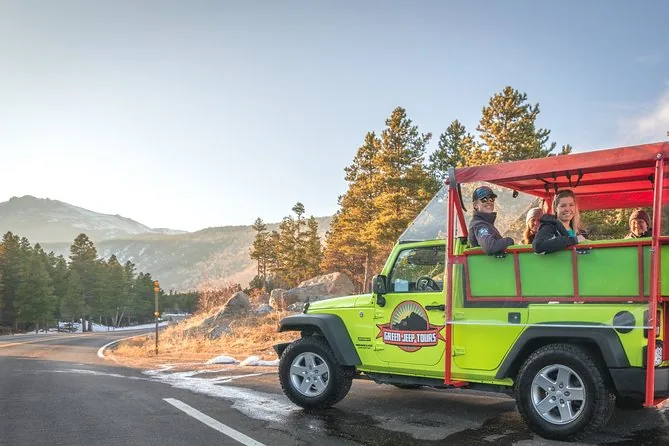
Open-Air Jeep Tour from Estes Park
- Safari-style open jeep, 10 guests or fewer
- Old Fall River Road or Trail Ridge Road, depending on season and weather
- Alpine Visitor Center and Alluvial Fan stops
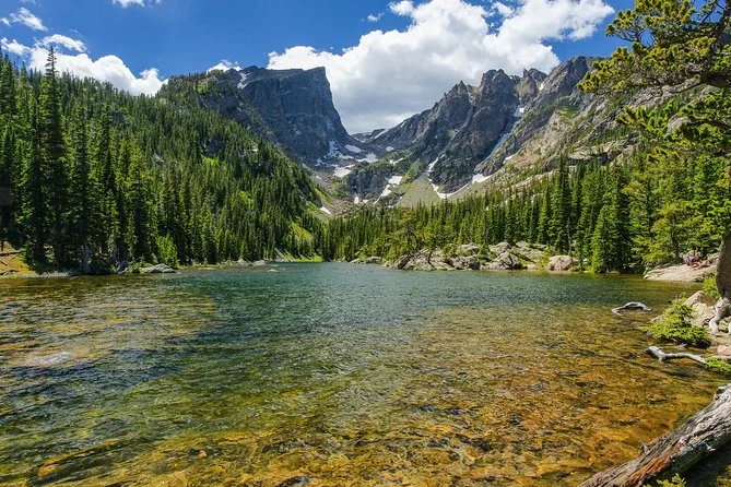
Rocky Mountain Small-Group Day Trip
Trail Ridge Road, the Stanley Hotel and a picnic